AI phone app transforms bushwalks into tools for high-tech bushfire prevention
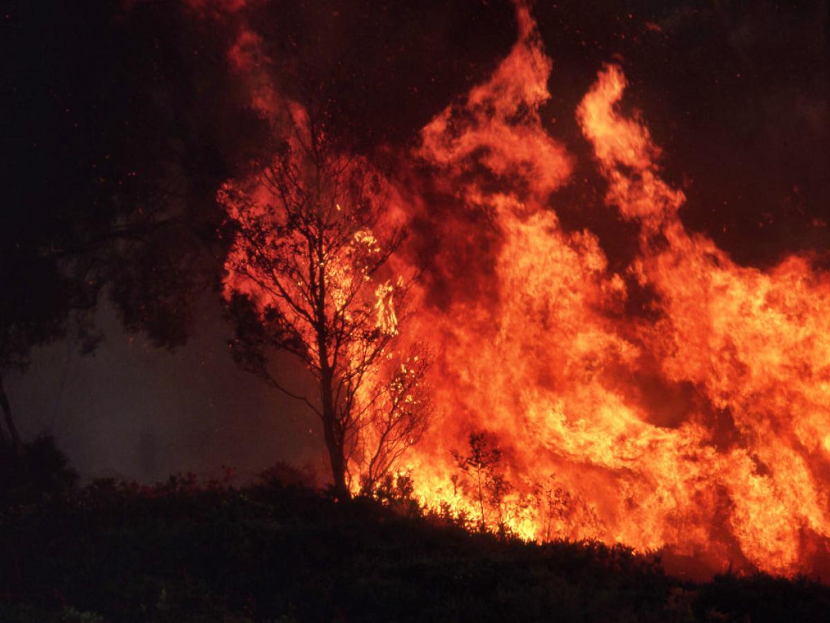
Photo: iStock / Steve Lovegrove.
Snapping a picture on your next bushwalk could now help predict and prevent devastating bushfires, thanks to an innovative new AI-powered mobile phone app.
By Kurtis Eichler
Researchers from the University of the Sunshine Coast (UniSC) and the University of Adelaide’s Australian Institute for Machine Learning (AIML) launched the NOBURN (National Bushfire Resilience Network) app in August.
Users are encouraged to take photos of fire-prone areas showing tree canopies, bark, and ground level plant and shrub cover. The app uses a type of AI called computer vision to analyse the photos and assess the potential bushfire fuel loads; the system can also estimate the severity of a potential bushfire and how far it’s likely to spread.
AIML’s Director of Advanced Reasoning and Learning, Professor Javen Shi, said the AI models have been developed to mimic the eyes of human experts who would ordinarily be scouring bushland for bushfire hazards.
Identifying those potential fire hazards using AI involves training a model to detect segments within an image, which based on previous training, allows them to distinguish which segment is which type of fuel load.
“Once we train the model and get a good model, we don’t really need experts to go to the forest because we don’t have that many experts, we don’t have thousands of experts,” Professor Shi said.
“We can easily have thousands of citizens right, kids who do camping or on family trip and they can just take photos and AI would actually make a prediction.”
Professor Shi calls this the “easy part”. The more challenging aspect is ensuring the data collected is balanced. While some forests are popular for hikers and campers, others are rarely visited; and that risks an imbalance in the data being collected.
To avoid skewing the algorithm, Professor Shi said an advanced causal AI model can be used to stitch together thousands of types of forest environments—with differing tree species, lighting and climate—as one dataset.
This helps researchers make more accurate predictions for forests with tiny datasets.
Collecting quality data from users of the app could take up to 12 months, and another year for the app’s AI model to be trained on the images uploaded from rural areas.
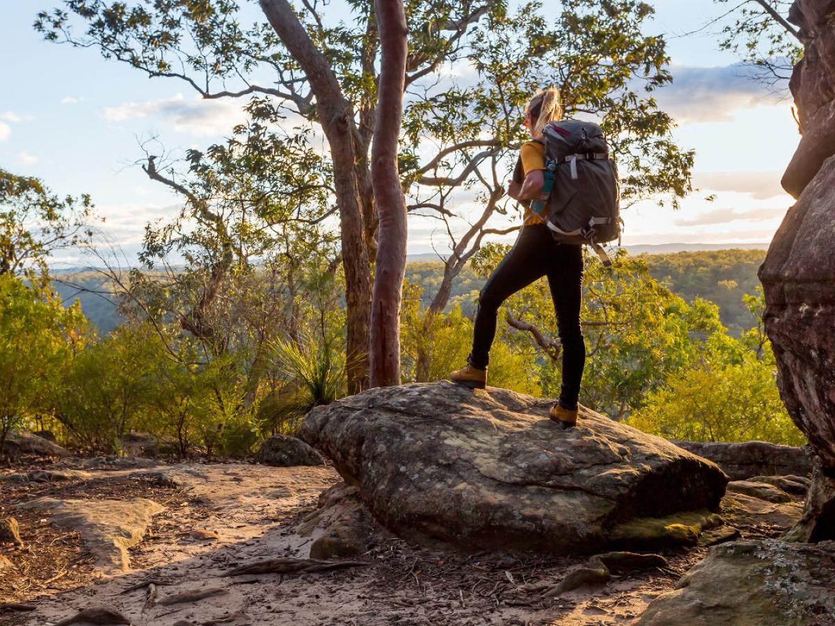
Hikers, bush walkers and campers are asked to share their photos of bushfire-prone environments. The NOBURN app is free to download and easy to use. Photo: iStock.
However, as Professor Shi explains, the point of the NOBURN app is about raising awareness for the ways investment in AI can help prevent devastating losses during bushfires.
“The app alone is small, but we hope this is a catalyst to ignite people’s excitement and hope and invest because we lose millions of dollars every year to fires,” Professor Shi said.
“We hope to expand this to situational awareness like a command centre for the bushfire commanders, and they can see in real time their resource deployment, how a bushfire spreads, and we can build AI for them to interact with.”
The idea for the app was sparked after the Black Summer bushfire season in 2019-2020, which burned more than 46 million acres.
The fires destroyed more than 9,000 properties, claimed 34 lives and cost farmers up to $7 billion in damages.
Professor Shi worked alongside the UniSC forestry experts, Dr Sam Van Holsbeeck and Professor Mark Brown, as well as the director of the Centre for Human Factors and Sociotechnical Systems, Professor Paul Salmon, to develop the NOBURN app. UniSC was able to secure an almost $500,000 Australian Government Citizen Science grant to help them develop and build the app, which can be used on phones and tablets.
Dr Van Holsbeeck said the app could interpret images to give locations and overall fuel hazard rating, a simplified approach which would save time for researchers.
He encouraged everyday people to use the app and upload photos from across Australia’s vast rural areas.
“There’s a huge potential for AI to be leading that game in overall fuel hazard assessment and again even further into bushfire prediction and simulation modelling as we’ve been attempting with AIML,” Dr Van Holsbeeck said.
“It’s not just a bushfire research project. It is really like a combination of different fields of discipline coming together and doing this is in a way that makes bushfire research accessible to the general public in a sense.”
This isn’t the first time AIML and UniSC researchers have teamed up to use AI to predict and prevent bushfires. The two institutions worked together to develop a winning project at the Data Quest showcase in 2020. As part of the challenge, the team developed an AI algorithm that could accurately predict the spread and fire scar from a bushfire.
Researchers trained a deep learning model on satellite imagery of more than 120 burn sites ranging in sizes from 100sqm to 5,000sqm.
They were also able to use predictors such as temperature and humidity to determine where the fire would travel and how far it would spread. The team's success at the Data Quest showcase allowed them to access federal government funding, which in turn helped get the NOBURN app off the ground.
Professor Shi said the NOBURN app is only the beginning when it comes to deploying AI to fight bushfires and hopes to one day expand the technology into situational awareness for firefighters and emergency responders.
“We can build an AI assistant for them, like how Iron Man has AI talking to Tony Stark saying what’s the best odds and what he should do,” Professor Shi said.
“We want to build an AI that can have a conversation with the commander and also the firefighters and give them real-time advice and also making them aware of their surroundings because bushfire fighters have tiny visibility when they are on the ground.”
NOBURN is free to download and use for both Apple and Android phones.