Mapping & Monitoring with Drones (Visible + Near Infrared)
Take your data capture skills to the next level with our advanced short course in mapping and monitoring with drones.
This course is an extension of the two-day Mapping with Drones course, covering all content from the original course it also includes an introduction to multispectral remote sensing.
In this unique course only available at the University of Adelaide, you will build your understanding of the data capture and processing workflow. You will learn how to collect reliable RGB and multispectral imagery to generate 3D point clouds and 2D images for mapping.
You’ll learn about the intricacies of working with multispectral imagery, gaining insight from your instructor’s extensive experience with this form of data capture and processing.
We’ll discuss examples of the applications of these technologies in conservation and agriculture – such as monitoring both native vegetation and irrigated crops.
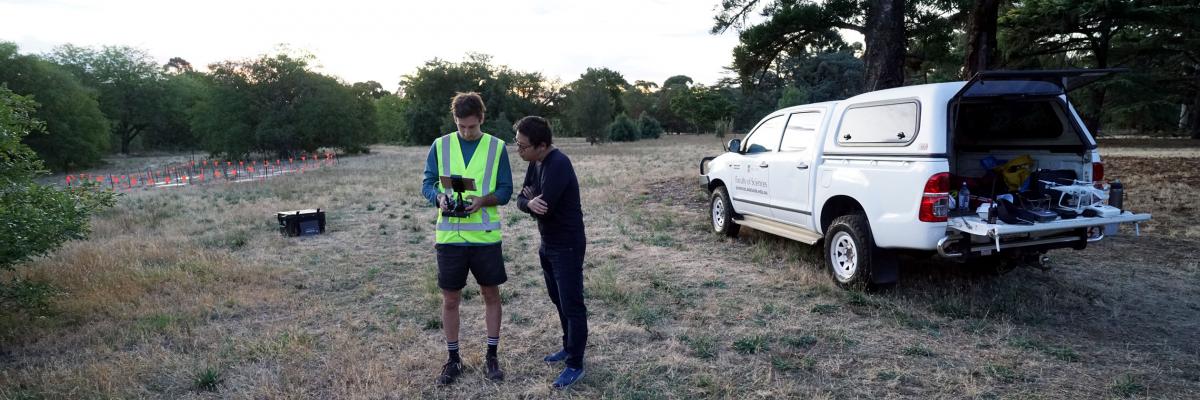
The team at the Unmanned Research Aircraft Facility are scientists, aviators, engineers and professionals who are highly experienced in the use drones for environmental, agricultural and commercial applications.
We will share with you, our extensive experience in mapping with drones to help you capture good data, consistently.
Course dates
If you would like to be notified if future course dates are released, please join our mailing list.